Loading…
| ★ | Bldg | BH No. | Design Coordinates (m) UTM WGS84 | Actual Coordinates (m) | Ground Elev. (m) | Rig No. | Testing Date | Max Drilling Depth (m) | Soil Depth (m) | Rock Coring Length (m) | Status | Photos | Ground Elev. (m) | ||||||||
|---|---|---|---|---|---|---|---|---|---|---|---|---|---|---|---|---|---|---|---|---|---|
| N | E | N | E | Datum | Elev. | Ref. | Start | Finished | Target Finished | Elev. | Ref. | ||||||||||
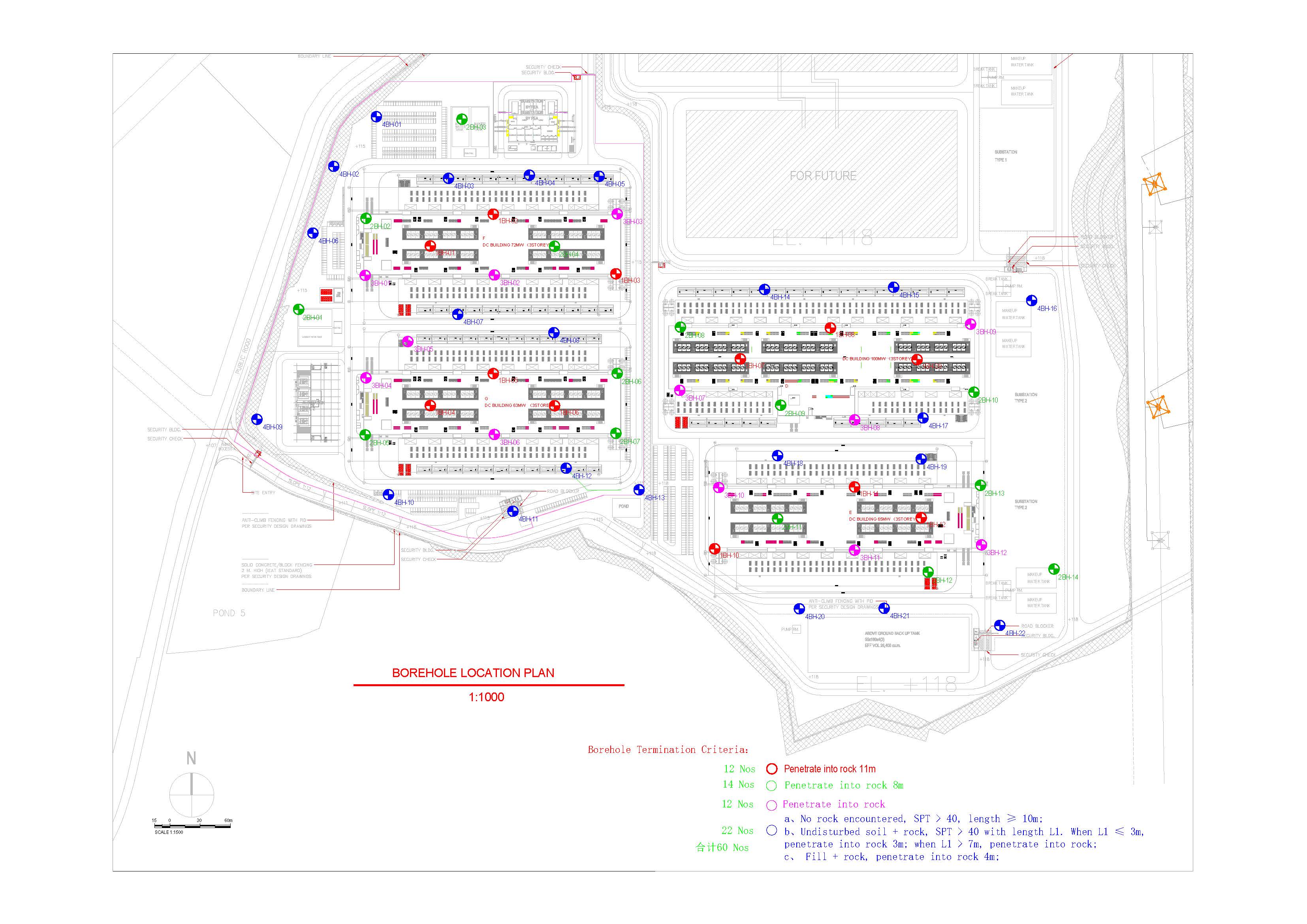
Markup is staff-only (like tracing paper over the plan) — never shown on the client link. Hover the plan to read coordinates (mobile: 📍 tool, then tap). Use ✋ to scroll / tap boreholes.
LEGENDToday CompletedCompletedOn-going
Number of Rigs
R0, R1, … · the list below updates to match · press Save to applySelect a Rig, then tap or drag across day cells to paint · Tap a cell of the same Rig again to clear · No tool selected = scroll the table · Rig colours save immediately
BH No. highlight = actual status from Table tab (green Completed · orange On going)
Plan vs Actual — all boreholes
Cumulative completed boreholes · Plan:
PlanActual